


01
About the operation
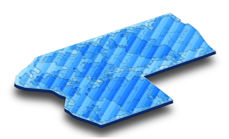
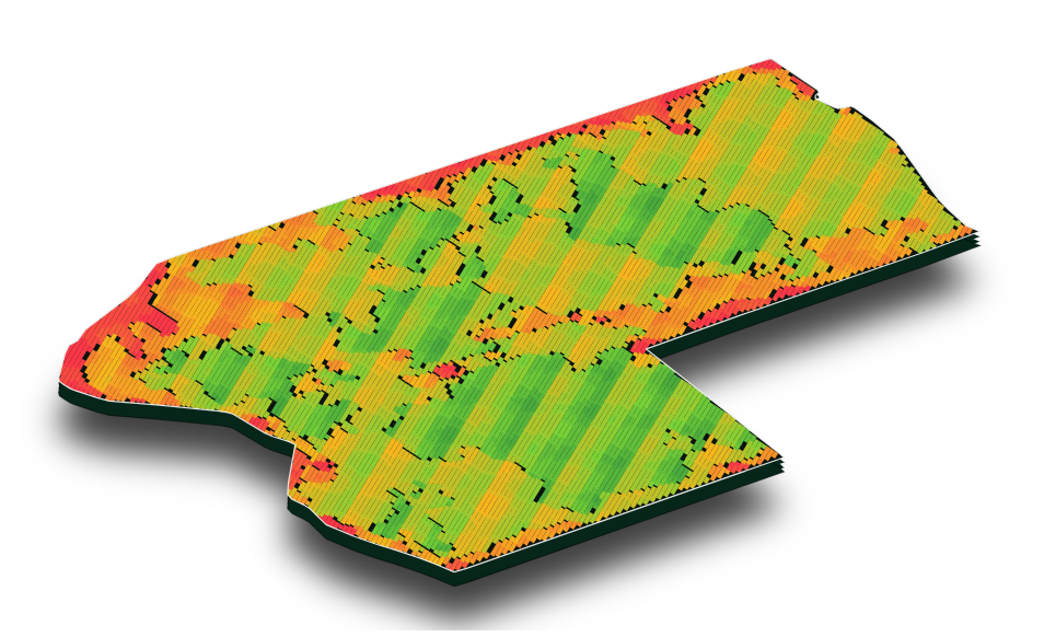
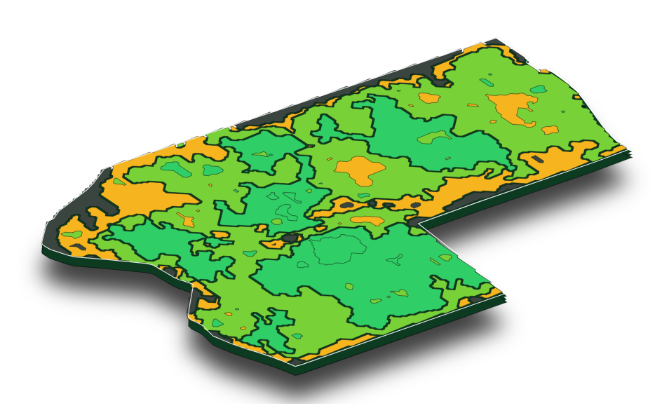
Satellite maps show a farmer that the zones of a field yield differently, but not where extra nitrogen pays off and where it is wasted. The operation answers that: strips with different nitrogen rates show how the yield really responds in each zone of the field.
The Operational Group brings together farmers' experience, IUNG-PIB's scientific knowledge and Nirby's technology. The operation plan was prepared together, in meetings and workshops with the farmers, so that the solution meets the farms' real needs.
How does a zone respond to a change in the N rate?
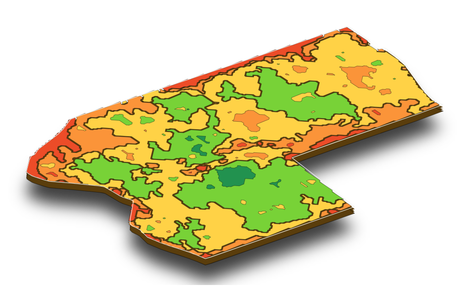
Productivity map (NDVI)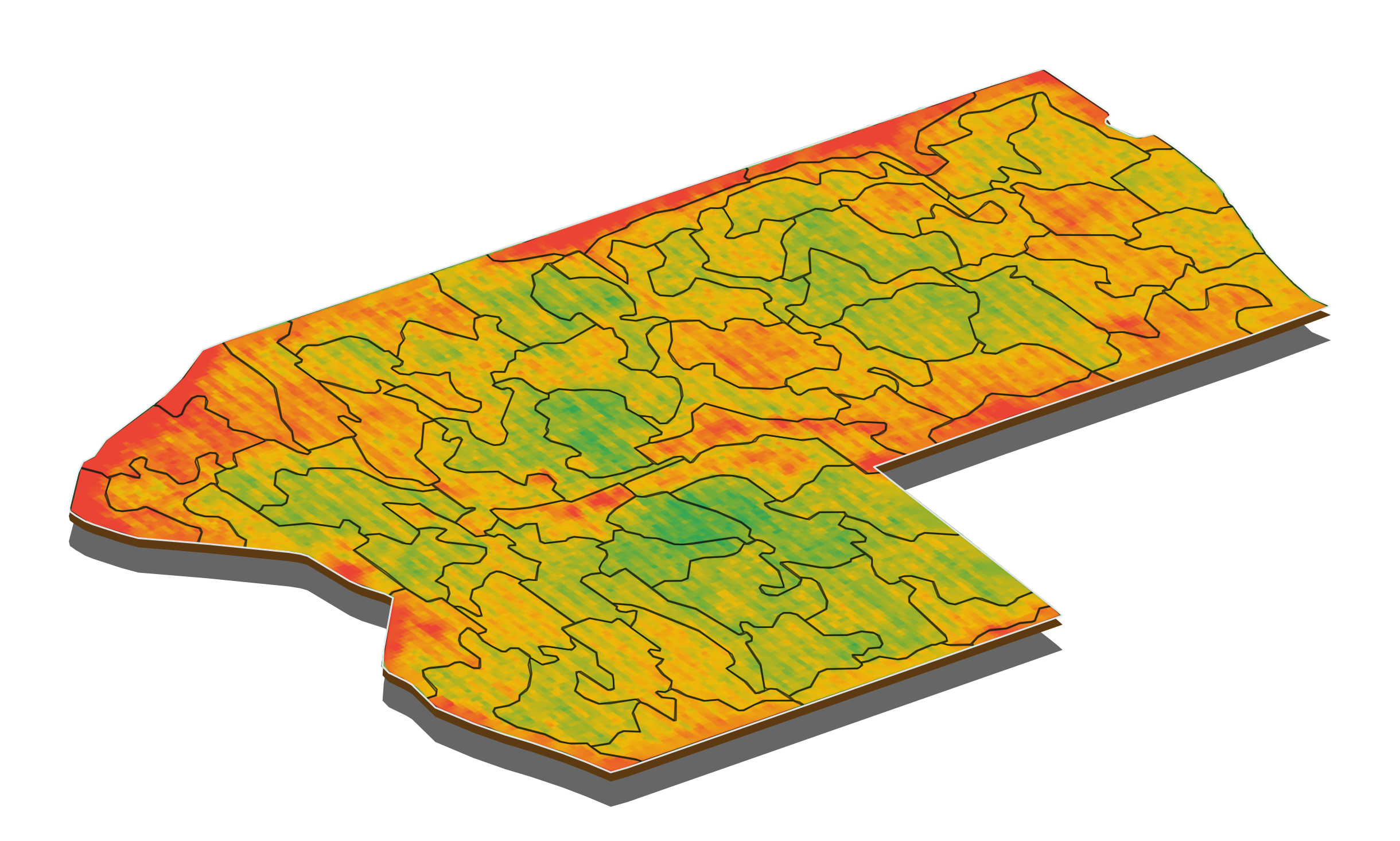 The weak zone shows on the map. The map alone does not say how it will respond to nitrogen.
Two possible responses
A: with more N the yield clearly risesA higher rate may make economic sense, if the added value of the yield exceeds the cost of the fertiliser.
B: with more N the yield barely risesExtra nitrogen is a cost with no effect on production; a lower rate will not lower the result.
Conclusion
The response has to be measured, not only the productivity mapped.